
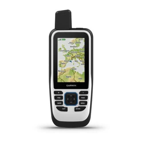
GPSMAP® 86s
Marine handheld GPS that floats, featuring a 3-inch color display and seamless boat system integration.
Key Features:
- Floatable, marine-ready design with a 3" sunlight-readable display
- Streams boat data and controls Garmin autopilots & FUSION audio
- Preloaded Worldwide Basemap with built-in altimeter, barometer, and 3-axis compass
- Wi-Fi®, Bluetooth®, ANT+® connectivity with up to 40 hours of battery life
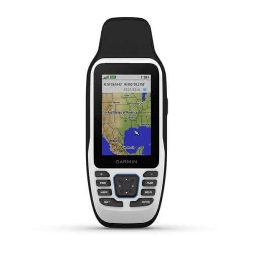
GPSMAP® 79s
Rugged, floating marine handheld GPS designed for reliable navigation on the water.
Key Features:
- Rugged, floating marine design with an IPX7 water rating and scratch-resistant display
- Multi-GNSS support (GPS, GLONASS, Galileo, QZSS, SBAS) for reliable global tracking
- Preloaded Worldwide Basemap and 8 GB memory for extensive waypoint and route storage
- Up to 19 hours of battery life with a built-in 3-axis tilt-compensated compass
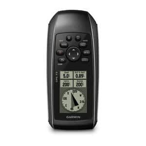
GPS 73
Rugged, floatable marine handheld GPS designed with SailAssist™ features for small watercraft.
Key Features:
- High-sensitivity GPS quickly acquires signals even in challenging marine environments
- Exclusive SailAssist™ includes a virtual starting line, heading line, timers, and tack assist
- Stores up to 1,000 waypoints and 100 tracks to easily navigate back to favorite spots
- Floatable, IPX7 water-rated design with a high-contrast display and built-in backlight
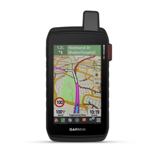
Montana® 700i
Rugged GPS handheld featuring a 5" touchscreen, preloaded maps, and inReach® satellite technology.
Key Features:
- Global two-way messaging and interactive SOS via inReach® satellite technology
- Large 5-inch glove-friendly touchscreen, tested to military standards (MIL-STD 810)
- Preloaded TopoActive maps and City Navigator maps with Multi-GNSS support
- 18+ hours battery life in GPS mode, with a full QWERTY keyboard for easy typing
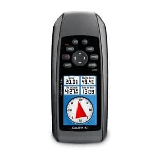
GPSMAP® 78s
Rugged, buoyant marine handheld GPS featuring a 3-axis compass and barometric altimeter.
Key Features:
- Buoyant, IPX7 water-rated design that floats if dropped in the water
- Built-in 3-axis tilt-compensated compass and barometric altimeter
- High-sensitivity WAAS-enabled GPS receiver with HotFix™ satellite prediction
- Preloaded Worldwide Basemap with 1.7 GB internal memory and microSD™ expansion
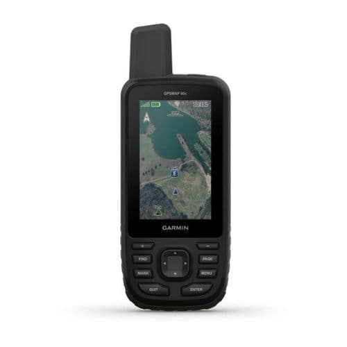
GPSMAP® 66s
Premium, rugged handheld GPS with expanded GNSS support and direct-to-device satellite imagery.
Key Features:
- Large 3-inch sunlight-readable color display with a rugged IPX7 water rating
- Multi-GNSS support (GPS, GLONASS, Galileo) for tracking in challenging environments
- Built-in altimeter, barometer, and 3-axis compass (ABC sensors)
- Wireless connectivity for Active Weather and direct BirdsEye Satellite Imagery downloads