
← Back to Products
UAV Payloads
Advanced LiDAR and imaging payload solutions designed for professional UAV mapping and surveying.
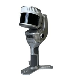
X200GO SLAM Laser Scanner
A high-performance SLAM scanner with a 300-meter range, perfectly adaptable for UAV integration to perform real-time aerial mapping.
Key Features:
- 300m Range
- UAV Mountable
- Built-in RTK
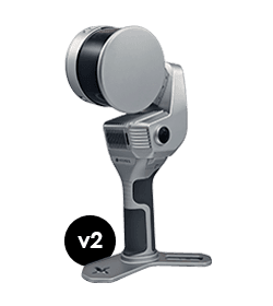
X120GO SLAM Laser Scanner
A versatile SLAM scanner with a 120-meter range and 360° rotating head, capable of being mounted on UAVs for rapid large-area mapping.
Key Features:
- 120m Range
- UAV Mountable
- Real-Time Mapping
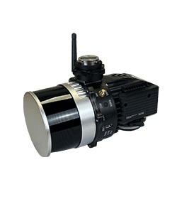
XFLY UAV Payload - LiDAR
A high-performance UAV LiDAR payload available in 2 models: Xfly300 and Xfly120. Designed for seamless integration and demanding aerial mapping projects.
Key Features:
- 2 Models: Xfly300 / Xfly120
- High Density Point Cloud
- Advanced GNSS/IMU integration