
Surveying & Mapping Services
Comprehensive field accessories and infrastructure for surveyors.
More details and content about our surveying and mapping services will be available here soon.
Topographic Survey
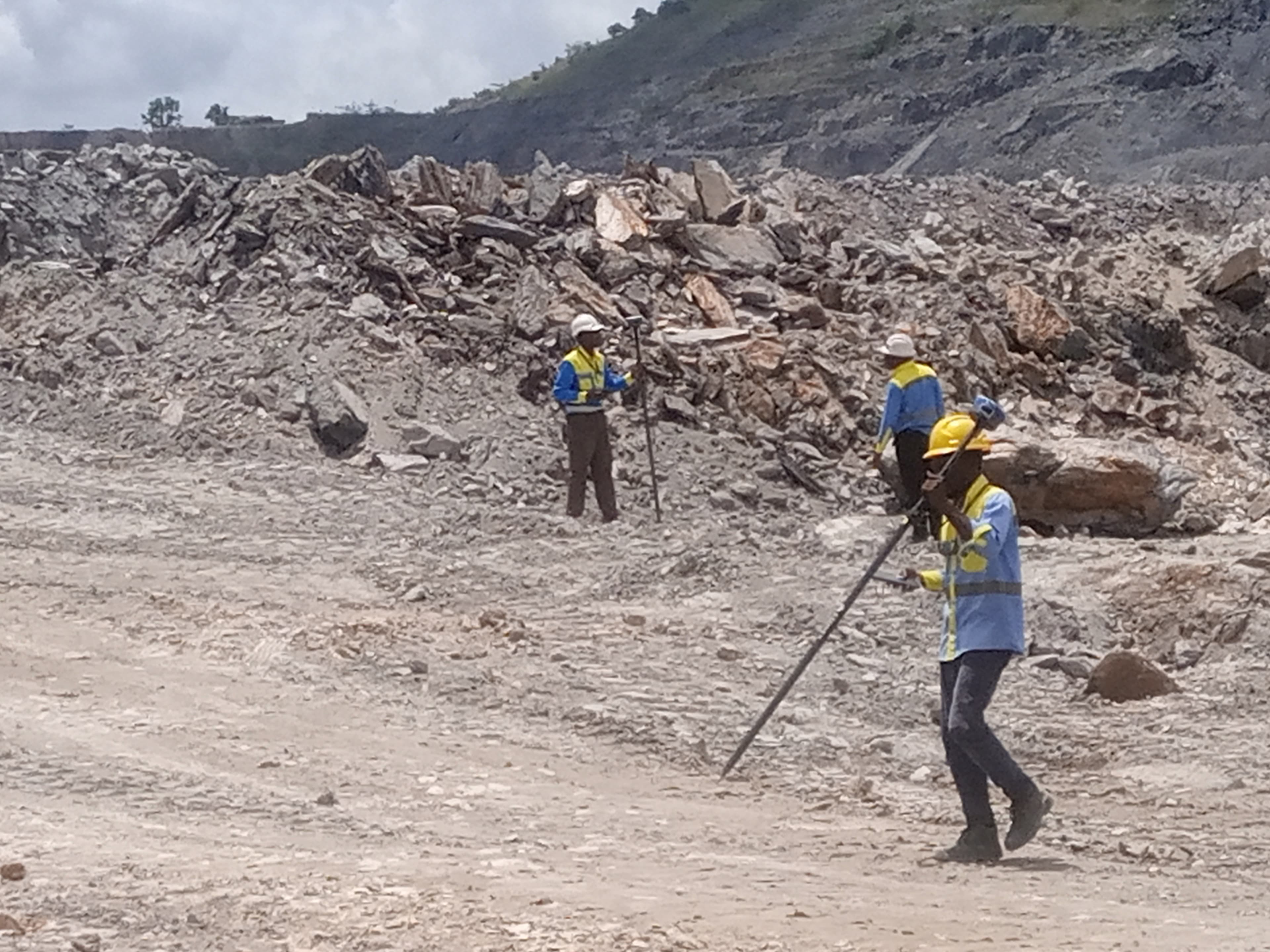
Our topographic survey services across Ghana provide highly detailed and accurate representations of natural and man-made features on any given site. By utilizing state-of-the-art surveying equipment, including robotic total stations and RTK GPS, we ensure that every contour, elevation, and physical boundary is captured with millimeter precision.
These surveys are foundational for architects, engineers, and urban planners who require reliable baseline data for design and construction projects. We understand that every project is unique, which is why our final deliverables can be customized to meet your specific requirements.
Whether you need 2D plans, 3D digital terrain models, or cross-sectional profiles, our team delivers high-quality CAD outputs. We can provide data in various industry-standard formats such as AutoCAD DWG, Moss MX, and Revit, as well as traditional film and paper copies. From small residential plots to vast commercial developments, our topographic surveys mitigate risk and prevent costly design errors down the line.
Utility Survey
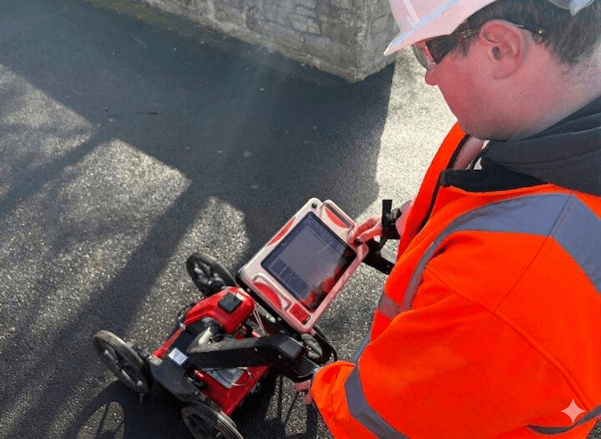
Underground infrastructure surveys are increasingly critical during the project design stage in Ghana, ensuring that appropriate measures are taken to avoid dangerous and costly service conflicts. Our comprehensive utility surveys employ advanced non-destructive technologies, such as Ground Penetrating Radar (GPR) and Electromagnetic Locators (EML), to accurately trace and map buried utilities, including water pipes, gas lines, electrical cables, telecommunications networks, and drainage systems.
By identifying the exact location and depth of these hidden assets, we provide contractors and developers with the vital intelligence needed to excavate safely. Not only does this protect the workforce from potential hazards, but it also prevents project delays and budget overruns caused by accidental utility strikes.
Our detailed utility mapping is seamlessly integrated with topographic survey data, providing a complete 3D overview of both surface and subsurface conditions. We deliver clear, easy-to-understand CAD drawings and reports, giving you total confidence before breaking ground.
Measured Building Survey
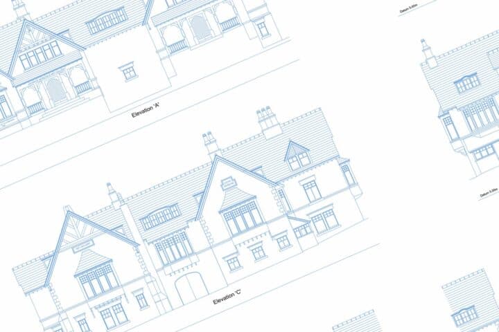
Our measured building surveys across Ghana provide highly accurate, as-built floor plans, elevations, and cross-sections for a wide range of architectural, heritage, and engineering projects. Using a combination of traditional surveying methods and cutting-edge 3D laser scanning technology, we capture the exact geometry of any structure, regardless of its complexity or age.
This service is essential for renovation, refurbishment, space planning, and facility management, providing a precise digital twin of the existing building. We meticulously record all structural elements, including walls, doors, windows, beams, and columns, as well as architectural details and MEP (Mechanical, Electrical, and Plumbing) installations if required.
The data is processed into highly detailed 2D CAD drawings or fully navigable 3D BIM (Building Information Modelling) models, depending on your project needs. By delivering an exact representation of the built environment, we eliminate the guesswork from design, helping architects and engineers plan modifications with absolute certainty and reducing the likelihood of on-site rework.
Drone Survey
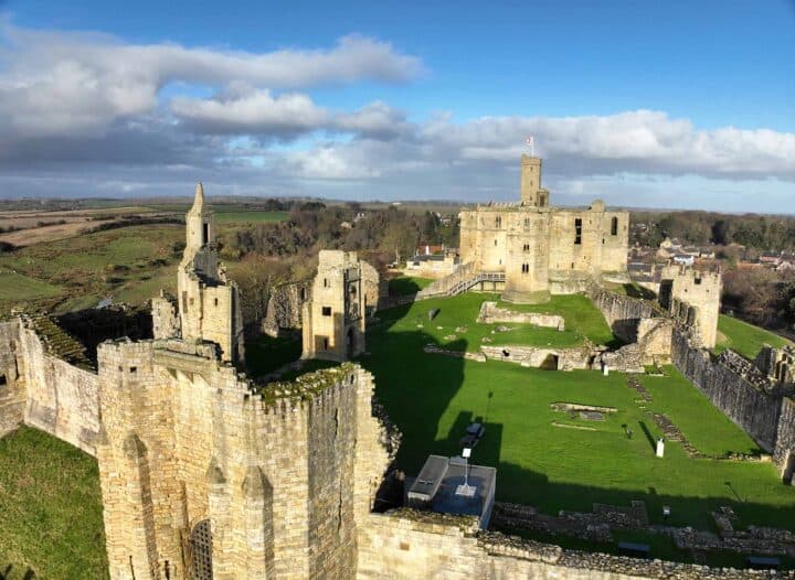
We utilize advanced UAVs (Unmanned Aerial Vehicles) to deliver high-resolution aerial mapping, photogrammetry, and inspection services, ensuring rapid and safe data collection across Ghana. Drone surveys have revolutionized the spatial geomatics industry by allowing us to capture vast areas of land and hard-to-reach structures in a fraction of the time required by traditional methods.
Equipped with high-definition RGB cameras, LiDAR, and thermal sensors, our drones generate incredibly detailed orthomosaics, 3D point clouds, and digital elevation models (DEMs). This technology is particularly beneficial for large-scale agricultural monitoring, construction site progress tracking, mining volume calculations, and environmental assessments.
Because the drones operate remotely, we can safely survey hazardous or inaccessible environments, such as active quarries, unstable terrain, or steep rooftops, without putting personnel at risk. The resulting aerial data integrates perfectly with standard CAD and GIS software, providing our clients with rich, actionable insights and unparalleled visual context for their projects.
Dimensional Surveys
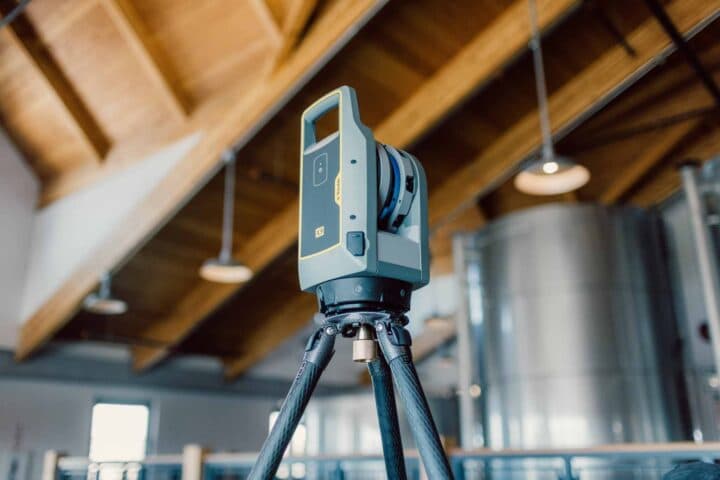
Our high-precision dimensional surveys are absolutely essential for engineering, manufacturing, and complex construction projects across Ghana, ensuring that critical structural elements fit perfectly within their strict design tolerances. When millimeter-level accuracy is non-negotiable, our experienced surveying team deploys high-end industrial measurement tools, including precision total stations and laser trackers.
We specialize in verifying the dimensions, alignment, and verticality of steel structures, concrete foundations, elevator shafts, and complex mechanical assemblies. By conducting these rigorous as-built checks during the fabrication and installation phases, we identify deviations from the original design immediately, allowing for swift corrective action before expensive materials are wasted or project timelines are compromised.
Our dimensional control services also extend to clash detection and the reverse engineering of existing components. We provide comprehensive, easy-to-read deviation reports and 3D CAD overlays, giving project managers the ultimate peace of mind that their builds are proceeding exactly to specification.
Environment Survey
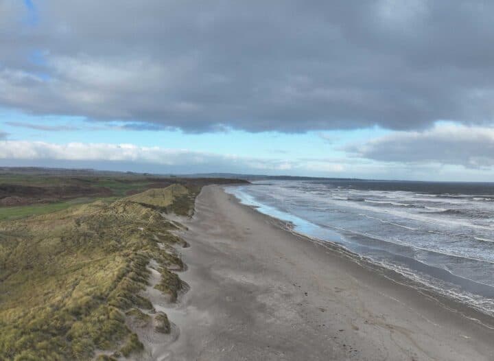
Comprehensive environmental assessments and surveys are conducted by our team to accurately map out site conditions, sensitive habitats, and potential ecological impacts, supporting sustainable project development throughout Ghana. Before any major construction or infrastructure project can begin, understanding the environmental baseline is a critical regulatory and ethical requirement.
We utilize a combination of spatial mapping, aerial imagery, and ground-based data collection to document vegetation boundaries, water courses, flood zones, and topography. This highly detailed spatial data is then used by environmental consultants, ecologists, and urban planners to design projects that minimize ecological disruption and comply with local environmental protection laws.
Furthermore, our environmental surveys can monitor changes over time, such as coastal erosion, deforestation, or wetland degradation, providing vital data for conservation efforts. By delivering accurate, geographically referenced environmental data, we help developers balance economic progress with responsible environmental stewardship, ensuring projects are both compliant and sustainable.
GPS Survey
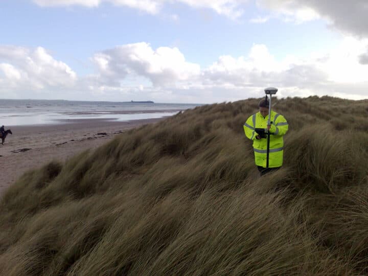
Our GPS surveys and spatial assessments across Ghana offer a complete, highly efficient solution for advanced land surveying, utilizing both Real-Time Kinematic (RTK) and static surveying techniques. Global Navigation Satellite Systems (GNSS) have transformed the speed and scale at which we can capture precise geospatial data.
For large infrastructure projects, highway developments, and expansive agricultural mapping, our survey-grade GPS equipment provides centimeter-level accuracy without the need for line-of-sight between survey points, significantly speeding up data collection in open environments.
We establish highly accurate primary control networks that serve as the fundamental framework for all subsequent engineering and construction activities on a site. Whether we are mapping remote rural boundaries or setting out coordinates for a new commercial development, our GPS workflows ensure that every measurement is strictly tied to the national grid coordinates. This guarantees spatial consistency and absolute precision, reducing field time and delivering rapid, reliable results to our clients.
Hydrographic Survey
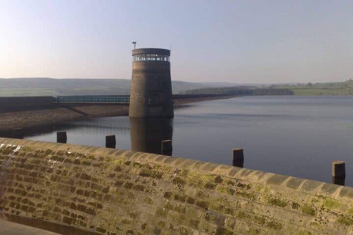
Our hydrographic surveying services provide highly detailed mapping of underwater topography, riverbeds, and marine features, which is absolutely essential for coastal, port, and offshore projects across Ghana. Understanding the sub-surface environment is critical for safe navigation, dredging operations, bridge construction, and underwater cable laying.
Using advanced single-beam and multi-beam echo sounders, often integrated with precision GPS and motion sensors on our survey vessels, we capture continuous, high-density depth soundings. This acoustic data is processed to generate accurate bathymetric charts, 3D underwater terrain models, and cross-sectional profiles of water bodies.
We can identify submerged hazards, monitor sediment build-up in navigational channels, and assess the structural integrity of underwater foundations. By bridging the gap between land and water, our hydrographic data seamlessly integrates with our topographic surveys, providing engineers and hydrologists with a complete, continuous dataset of the coastal or riverine environment for comprehensive flood risk modelling and infrastructure design.
Laser Scanning Survey
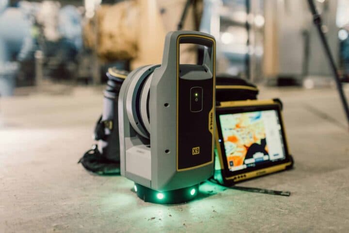
Our surveyors have considerable experience in the deployment of cutting-edge 3D laser scanning technology across Ghana, allowing us to capture the built environment with unprecedented speed and detail. High-definition terrestrial laser scanners emit millions of laser pulses per second, generating highly dense and accurate 'point clouds' that represent the exact geometry of buildings, industrial plants, and infrastructure.
This non-intrusive method allows us to survey complex, operational, or hazardous sites from a safe distance, drastically reducing health and safety risks and saving our customers hours of costly operational shutdown time.
The resulting point cloud data is incredibly versatile; it can be used to create highly detailed 2D architectural plans, immersive 3D fly-throughs, or data-rich BIM models for clash detection and facility management. Whether surveying a complex petrochemical facility, a historical heritage site, or a busy highway, our laser scanning services provide a flawless digital replica of reality, ensuring no detail is ever missed.
Manhole and Sewer Survey
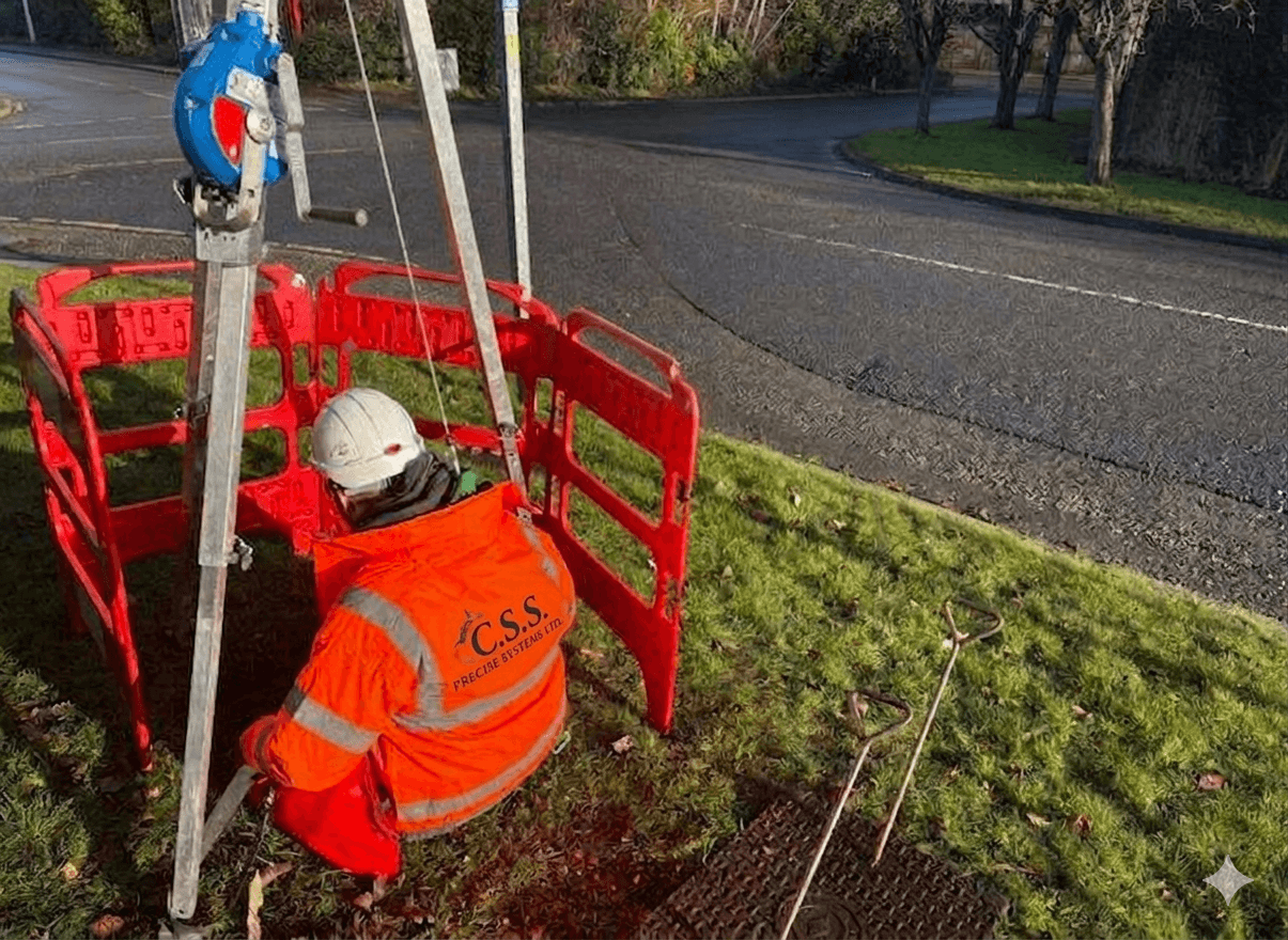
We deploy highly experienced manhole survey teams across Ghana capable of carrying out both non-entry and full-entry manhole and sewer network surveys with exceptional safety and precision. Accurate knowledge of existing drainage infrastructure is vital for urban planning, flood prevention, and new development connections.
Our teams meticulously inspect and record all critical data, including cover levels, invert levels, pipe sizes, flow directions, and the structural condition of the chambers. Using specialized equipment, such as confined space entry gear, gas monitors, and inverted pole cameras, we can safely assess even the most challenging and deep sewer networks.
All gathered information is digitized and delivered as comprehensive drainage connectivity reports, typically overlaid onto topographic surveys or formatted into GIS-ready deliverables. By identifying blockages, collapses, or capacity issues early, our manhole and sewer surveys empower utility companies and civil engineers to maintain, upgrade, and design drainage systems with absolute confidence and regulatory compliance.